worldview.earthdata.nasa.gov

4,0 su 5 stelle (basato su 1 recensione)
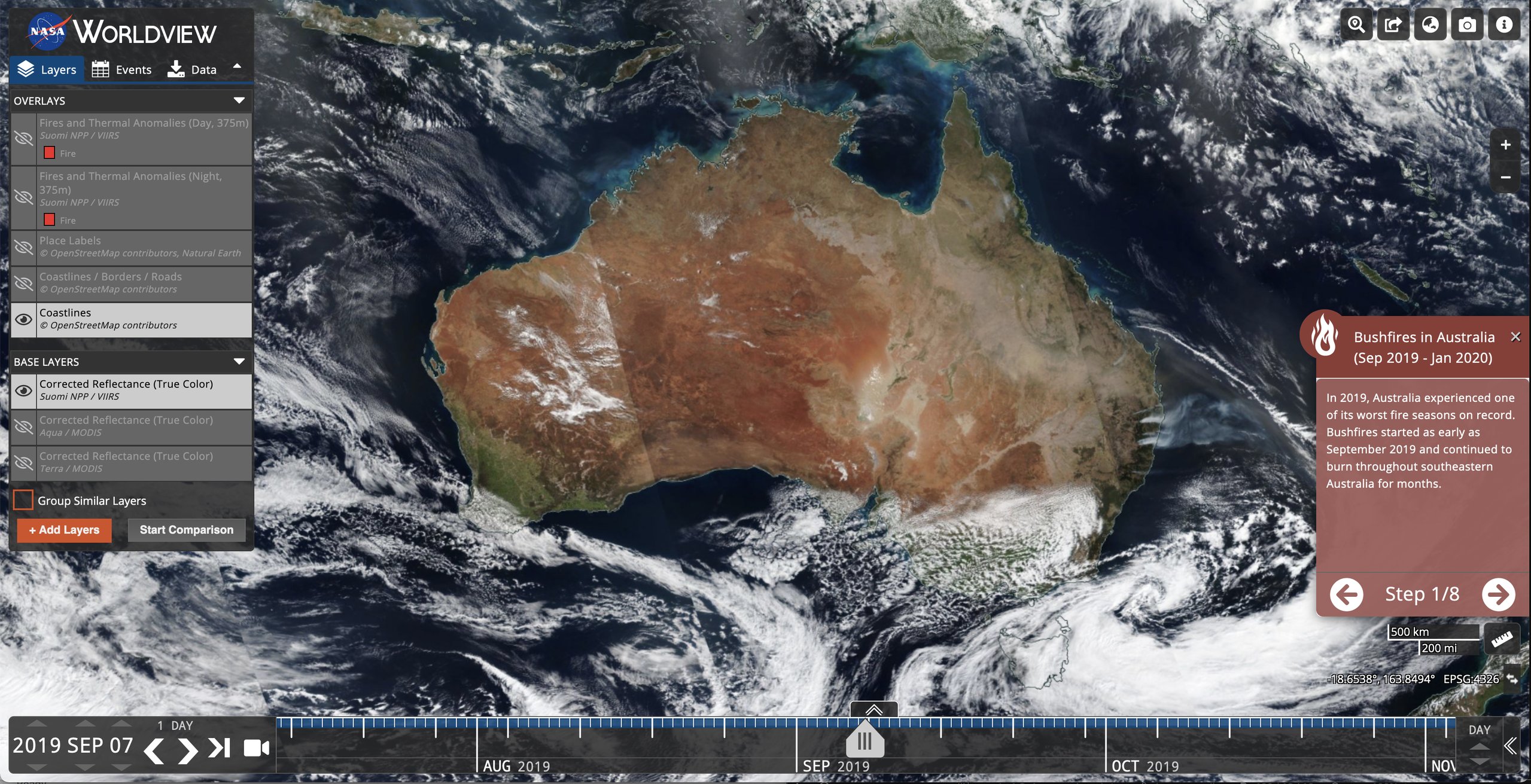
Lo strumento Worldview dell’Earth Observing System Data and Information System (EOSDIS) della NASA offre la possibilità di sfogliare in modo interattivo oltre 1000 livelli di immagini satellitari globali a piena risoluzione e quindi scaricare i dati sottostanti. Molti livelli di immagini vengono aggiornati quotidianamente e sono disponibili entro tre ore dall’osservazione, mostrando essenzialmente l’intera Terra come appare “proprio ora”. Ciò supporta aree applicative critiche in termini di tempo come la gestione degli incendi, le misurazioni della qualità dell'aria e il monitoraggio delle inondazioni. Visualizza i pericoli e gli eventi naturali attuali utilizzando la scheda Eventi che rivela un elenco di eventi naturali, inclusi incendi, tempeste tropicali ed eruzioni vulcaniche. Animare le immagini nel tempo. Sono ora disponibili anche i livelli di immagini geostazionarie. Questi vengono forniti con incrementi di dieci minuti per gli ultimi 90 giorni. Queste visualizzazioni emisferiche dell'intero disco consentono la visualizzazione quasi in tempo reale dei cambiamenti che si verificano nella maggior parte del mondo. Sono inoltre disponibili viste artiche e antartiche di molti prodotti per una prospettiva dell'"intero globo". La navigazione su dispositivi tablet e smartphone è generalmente supportata per l'accesso mobile alle immagini.
una bandiera rossa potrebbe essere il tracker "googletagmanager.com" su quel sito web. In caso contrario, questa mappa sembra essere quasi priva di scambi.