worldview.earthdata.nasa.gov

4,0 iš 5 žvaigždučių (pagal 1 apžvalgą)
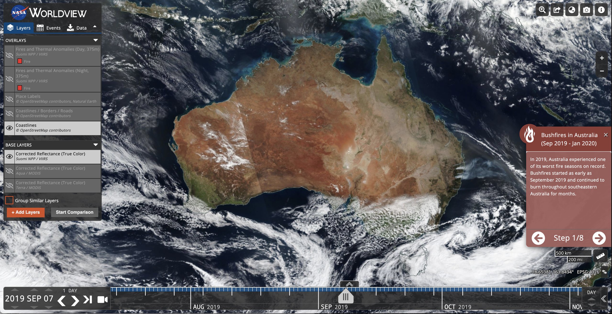
The Worldview tool from NASA’s Earth Observing System Data and Information System (EOSDIS) provides the capability to interactively browse over 1000 global, full-resolution satellite imagery layers and then download the underlying data. Many of the imagery layers are updated daily and are available within three hours of observation – essentially showing the entire Earth as it looks “right now”. This supports time-critical application areas such as wildfire management, air quality measurements, and flood monitoring. View current natural hazards and events using the Events tab which reveals a list of natural events, including wildfires, tropical storms, and volcanic eruptions. Animate the imagery over time. Geostationary imagery layers are also now available. These are provided in ten minute increments for the last 90 days. These full disk hemispheric views allow for almost real-time viewing of changes occurring around most of the world. Arctic and Antarctic views of many products are also available for a “full globe” perspective. Browsing on tablet and smartphone devices is generally supported for mobile access to the imagery.
one red flag might be the tracker “googletagmanager.com” on that website. Otherwise this map seems to be close to be trade-free.