QGIS

5.0 kuzinkanyezi ezi-5 (kusekelwe ekubuyekezweni okungu-1)
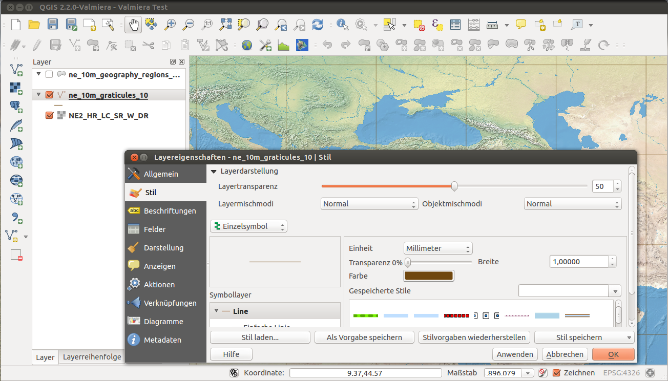
QGIS is a free and open-source cross-platform desktop geographic information system (GIS) application that supports viewing, editing, printing, and analysis of geospatial data.
QGIS comes without trackers and advertising and is therefore trade-free.